Muninn turns a polygon into an autonomous DJI mission — with terrain-follow, FAA airspace, and live wind already checked. Export a .kmz, tap Start in DJI Fly, and your drone does the rest.
Closed beta — join the waitlist for a shot at a beta invite
See It Fly
A 40-second walk-through: draw, configure, export, fly.
Demo — coming soon
A real mission, start to finish
In production.
Features
Professional mission planning that goes well beyond basic waypoint generation. Mission planning is free forever.
Automatic lawnmower waypoints with configurable front and side overlap for photogrammetry missions.
Area, orbit, corridor, facade, freestyle, and cinematic. Generated grids when you want speed, manual waypoints when you want full control.
Cable Cam, Reveal, Fly-by, and Crane moves with fluid speed ramps, keyframed gimbal choreography, and several recorded shots per flight. Cinematic camera work, flown hands-off.
DJI WPMZ/KMZ for native Waypoint missions, Litchi CSV for older drones. Compatible with most modern DJI models.
Save property boundaries as reusable named areas. One-click load into any new mission.
Upload photos, receive a 3D model and orthophoto by email. Powered by OpenDroneMap.
Pick from 14 DJI drones and 26 cameras. GSD, footprint, and altitude clamps update live to match your exact sensor — not a generic reference drone.
Altitude adjusts to ground elevation using worldwide terrain data. Consistent GSD over hills.
Live overlay of no-fly, LAANC, and controlled airspace — with drone-specific verdicts like "fly / auth / no-fly."
Live wind speed, direction, gust, and temperature at your mission location — before you take off.
Gimbal pitch, heading, hover time, zoom (1–5×), and photo trigger — override any waypoint with one click.
Bring an existing DJI mission back in, tweak waypoints, and re-export.
Real aircraft near your planning area, altitude and heading, so you know what's in the sky.

Mission Types
Every mission type supports terrain follow, per-waypoint camera controls, and either hover-and-shoot stills or recording along the path.
Polygons and rectangles. Lawnmower grid with configurable overlap and direction. Stack multiple shapes.
Dome-shells around a point of interest. Multiple radii & altitudes. Drone always faces the subject.
Polyline plus width. Parallel passes for long linear subjects: roads, power lines, tree belts.
Horizontal passes at evenly-spaced altitudes along a wall. Gimbal stays level, heading faces the structure.
Drop your own waypoints in any order. Drag, insert mid-path, and edit each camera by hand.
Cable Cam, Reveal, Fly-by, and Crane moves along a line. Fluid speed ramps and hands-free recording for cinematic video.
Cinematic Video
Pick a move, draw a line, and Muninn choreographs a smooth, repeatable camera run — fluid speed ramps, keyframed gimbal moves, and subject tracking, with several recorded shots in a single flight. The whole mission runs onboard the aircraft, so every pass is glassy-smooth and framed identically, take after take.
A locked-off dolly glide down your line — constant altitude, constant heading, zero drift. The cable-cam look without the rig.
Best for · approaches, introsRise and tilt up in one fluid move, unveiling the horizon behind the subject. The classic establishing shot, automated.
Best for · landscapes, estate revealsThe camera locks onto your subject and holds it in frame as the drone sweeps past — a parallax fly-by that makes anything look cinematic.
Best for · structures, vehicles, actionA smooth vertical pedestal rise or descend, framing held all the way up the wall. The jib-crane move, no crane required.
Best for · facades, tall structures, waterfallsThe aircraft eases up to cruise and back down like a camera dolly — no jerky stops between waypoints. Choose an ease-in-out or accelerate curve.
Set the gimbal or heading at any waypoint and the camera eases between them — continuously rotating, never stepping. The classic waypoint-app gimbal jerk, gone.
Mark each shot along the path and every one records as its own clip. Land five to eight framed takes on a single battery — the whole property in one go.
Drop a subject and every move keeps it centered — orbit it, sweep past it, or track it down a line of your own. Native camera tracking, not a shaky live feed.
Think like a cinematographer: type how long the shot should run — "12 seconds" — and Muninn solves the cruise speed for you. A storyboard timeline previews the whole move.
Layer cinematic motion onto an Orbit for the real-estate money shot, or a Freestyle run for a move that's entirely your own.
Connect your account once. Pick a property or zone. Muninn flies a per-plant capture pattern — radius and altitude sized to each species and age — and the photos auto-attach to each plant's timeline back in Plottr. No manual matching, no spreadsheet of which photo is which tree.
Plottr is a GPS planting tracker for property owners — drop a pin per plant once, and Muninn handles the rest of the photo workflow.
Under the Hood
Every mission uses actual elevation, live FAA airspace, and drone-specific camera math.
Elevation is sampled at every waypoint. Your drone stays a constant distance above the ground, not above takeoff.
Six live FAA layers, decoded into the only three answers that matter to a drone pilot: fly, get authorization, or don't.
GSD, image footprint, and waypoint spacing are computed from your drone's actual sensor and lens — not a one-size-fits-all reference.
Cloud Processing
No GPU needed. No Metashape license. No ODM install. No 4-hour render on your laptop. Drop your flight photos into Muninn and we handle everything automatically.
Drag a folder of JPGs straight from your drone's SD card. We handle the rest.
Your photos run through OpenDroneMap on our servers. No setup, no waiting on your CPU.
Download your 3D model (GLB), orthophoto, and point cloud. Share or open in any viewer.
Free gets one lifetime watermarked preview (≤400 photos), Hobbyist 4 credits/mo, Pro 15 credits/mo, Operator 40 credits/mo. Credits scale with job size and reconstruction goal — Mapping mode (Area/Corridor) is the base price; 3D Reconstruction (Orbit/Facade/Freestyle) adds a per-bucket surcharge for the denser mesh + larger feature set.
| Size | Photos | Mapping | 3D Reconstruction |
|---|---|---|---|
| Standard | 1–400 photos | 1 credit | 2 credits |
| Large | 401–1000 photos | 4 credits | 7 credits |
| XL | 1001–1800 photos | 10 credits | 14 credits |
| Survey | 1801+ photos | 20 credits | 25 credits |
Out of credits? Buy a pack: Small $10 / 3 (Hobbyist+), Medium $20 / 7 (Pro+), Large $50 / 20 (Operator). Pack credits never expire. Large jobs require Hobbyist+; XL and Survey jobs require Pro+. Free tier is Mapping mode only. See full pricing →
Supported Drones
Any DJI drone that supports the WPML waypoint format can fly Muninn missions natively. Older drones can fly via Litchi CSV export.
Full waypoint mission support
Compact-class WPML missions
Mavic 4 Pro, Mavic 3 Pro/Classic/Enterprise/Thermal/Multispectral
Matrice 350 RTK & Matrice 30 / 30T
Cinema-class with Zenmuse X9
Phantom, Mavic 2, Mini 2 via Litchi CSV export
Not affiliated with DJI. Muninn is an independent third-party tool. DJI, Mavic, Mini, Air, Matrice, Inspire, and Phantom are trademarks of SZ DJI Technology Co., Ltd. Compatibility is based on the publicly available WPML specification — always verify mission behavior in a safe test area before flying over important subjects.
How It Works
Draw a polygon on the satellite map over the area you want to survey.
Set altitude, overlap, direction, speed, gimbal angle, and capture settings.
Download the KMZ, load it on your DJI drone, and fly autonomously.
Pricing
Mission planning is free forever. Only pay if you want cloud processing or advanced features.
Free
$0
1 lifetime preview
watermarked · low quality
Hobbyist
$14/mo
4 credits / mo
Small pack $10 / 3
Pro
$39/mo
15 credits / mo
Small + Medium $20 / 7
Operator
$129/mo
40 credits / mo
All packs incl. Large $50 / 20
Why Trust It
Missions and flight data aren't sold, shared, or used to train anything. Delete anytime.
KMZ is a standard file. Import and export anywhere. Walk away whenever you want to.
Every feature gets flight-tested on a real DJI Air 3S before it ships. No armchair planning tools.
Planning will always be free. Paid tiers only cover actual cloud compute — not artificial gates.
A note from the builder
I fly a DJI Air 3S, mostly in rural Maine. I wanted autonomous mapping flights without paying for a planner that still didn't do everything I wanted.
So I built Muninn. Planning is free forever because planning should be free - it's just math on top of a map. The only things that cost real money (cloud compute, servers, storage) are the only things you pay for.
Every feature ships only after I've flown it on my own drone. If it doesn't work on the Air 3S over a Maine treeline, it doesn't go live.
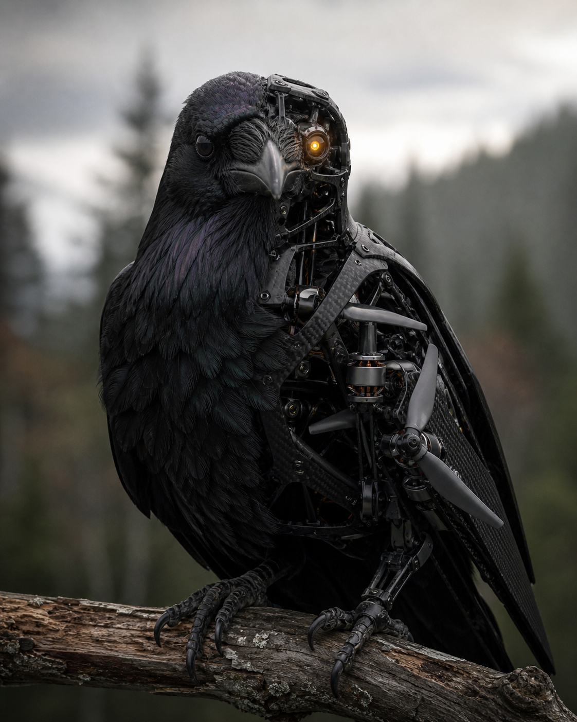
Oh yeah, I like Ravens.
FAQ
If your DJI drone supports Waypoint missions with WPML (Air 3/3S, Mini 3 Pro / 4 Pro, any Mavic 3, Matrice 30 / 350, Inspire 3), it flies natively. Older drones (Phantom, Mavic 2, Mini 2) use the Litchi CSV export bridge. Full list on the Drones page.
No. Your missions, parcels, and flight data sit in our database and are never shared or used to train anything. You can delete everything from your account settings in one click. The airspace & weather overlays hit public APIs (FAA ArcGIS, Open-Meteo); your polygon is sent to those to fetch results and not stored by them.
Export a .kmz from the editor, transfer it to DJI Fly (via USB or the Waypoint sync option in the app), and the mission appears ready to fly. If you're on an older drone, export a Litchi .csv and import it in Litchi Mission Hub instead.
Yes. The Cinematic mission type gives you four ready-made moves — Cable Cam, Reveal, Fly-by, and Crane — drawn along a line on the map. Fluid speed ramping eases the aircraft up to cruise and back down like a camera dolly, gimbal and heading keyframes ease smoothly between waypoints, and you can lock the camera onto a subject so every move tracks it. Because the mission runs onboard the aircraft rather than streaming live stick commands, the footage stays smooth. You can also layer that cinematic motion onto an Orbit or Freestyle mission for a fully custom shot.
Yes — that's the point. Mark each shot along the path and every one records as its own clip, so a single battery can capture five to eight framed takes of a property. Name them, see each shot's duration on the storyboard timeline, and Muninn brackets the recording automatically. Automatic recording is new and marked experimental pending final on-drone validation — if a mission ever won't start, one toggle switches to hands-on record while the drone still flies the move for you.
We're in closed beta while we finish the 3D pipeline. Joining the waitlist puts you in line for a beta invite — every feature unlocked, free processing credits, and a direct say in what we build.
Join Waitlist